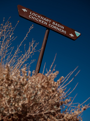
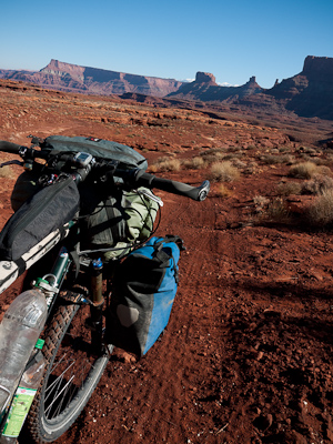
After Cullen and Nick kindly dropped me off in the desert, I set out to ride the Lockhart Basin Road. This rough jeep trail links up with Monticello, from where I planned to cross the Navajo Reservation and rejoin the Great Divide Mountain Bike Route in New Mexico.
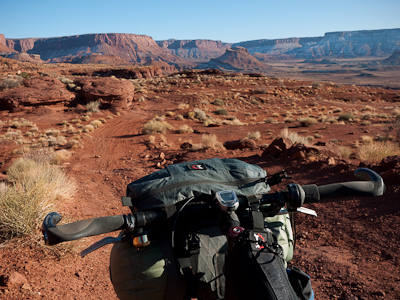
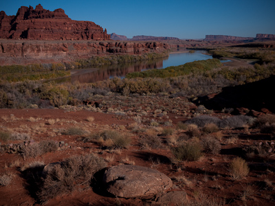
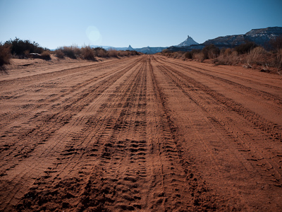
I don't mean to be pedantic, but I'm not sure if I'd really call the Lockhart Basin Road a road. It's far better than that: a rough and ready trail that wends its way across the desert, on the edge of beautiful Canyonlands National Park.
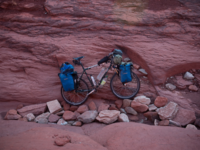
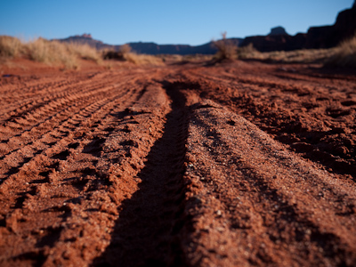
... to babyhead boulders. Some cursing, and lots of pushing ensued. As I heaved my overly laden bicycle out of one of the many gullies, I wondered if I'd bitten off just a little more than I could chew.
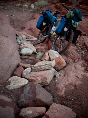
In fact, it was so narrow, tortuous and steep at times, it was hard to believe it could be driven by jeeps.
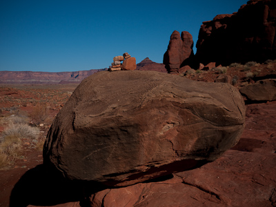
Still, it didn't stop me from getting lost just a few minutes later. With so many quad tracks and dry riverbeds disappearing into almost every canyon, escaping the basin floor wasn't always obvious. After the third dead end, I realised I had to keep an eye out for these helpful cairns.
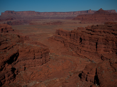
With much huffing and puffing, I made it to the top of the plateau. It was like looking down at giant pieces of a jigsaw.
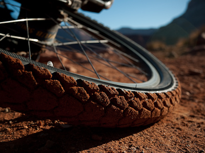
I've now fitted a Marathon XR at the back for longevity, and a Marathon Extreme up front for grip. So far, so good.
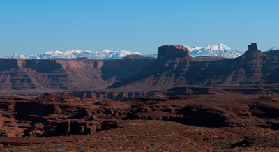
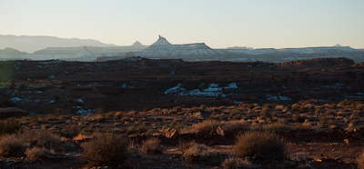
The snow covered La Sal mountains. The highest peak is 12 721 feet as is called Tu-ku-neek-evots in Navajo - the one that holds the sun longest.
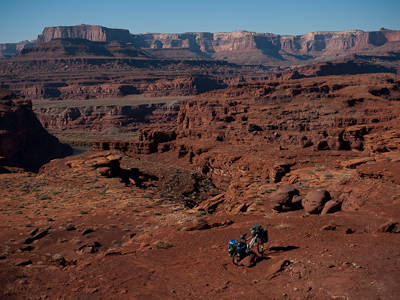
It was beautiful out there. So very serene. I felt like I had the desert to myself. My mood flitted from joy and happiness, to tears for people I left behind and missed. Skip would probably call it the yin and the yang of bike travel.
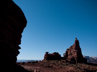
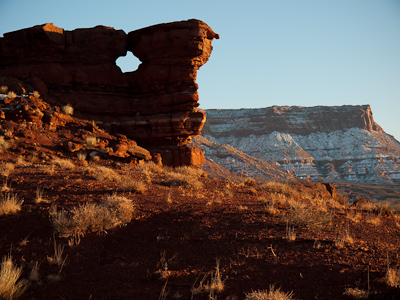
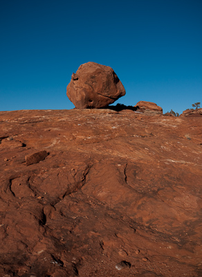
The rocks took on an almost organic quality; deep shadows contrasted dramatically against the sun bleached sandstone.
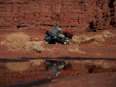
I was carrying ten litres of water as there were no creeks or streams along the route. Recent snow meant there was some water in the potholes though, which I could filter.
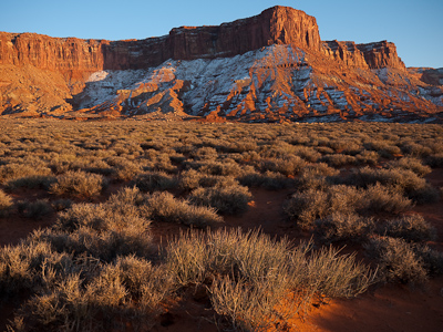
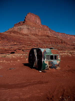
It was getting late, and the rockface was saturated in the last light of the day. I was spoilt for choice when it came to camping.
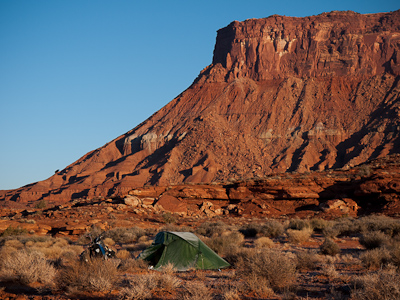
Stepping out of my tent in the morning, I held my breath for a moment. Nothing but complete silence.
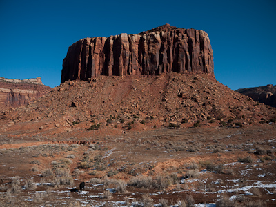
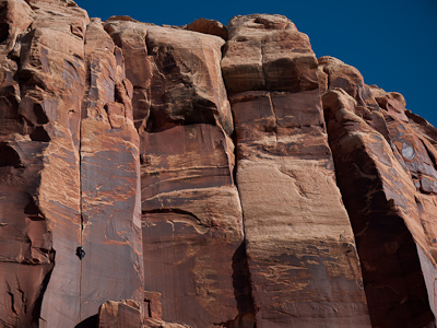
The views here were just as stunning. Indian Creek is famous in rock climbing circles for its world class sandstone routes.
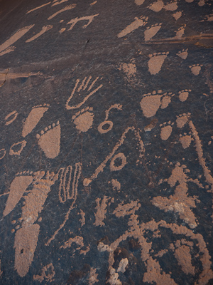
Newspaper Rock - or Tse Han, in Najavo (rock that tells a story) - is etched with a petroglyph panel that dates back two thousand years. No one knows if the symbols represent story telling, hunting magic, or are just ancient graffiti...
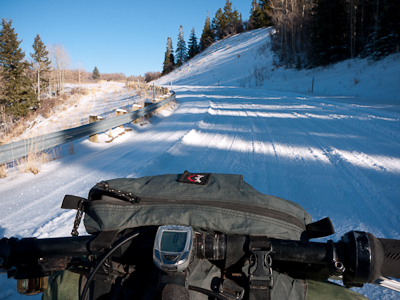
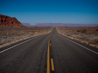
Rather than taking the highway to Monticello, I turned off 211 onto a mountain road. Had I studied my map a little more carefully, I might have noted that it climbed for 12 miles back up to over 8000 feet. Back in the snow line I went...
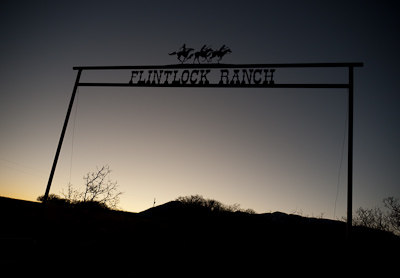
Finally I freewheeled back down into Monticello, which was settled by pioneers from the Church of the Latter Day Saints in 1887. There, I was offered a spot to camp on a nearby ranch, and fed an enormous dinner by Paul and his wife Glenis. It was a feast: 'I'll be mad if you leave the table hungry,' said Paul. So I did my best to hoover up all that was offered to me. Paul was ex-army and a retired school teacher. He wore round wire rim glasses with a cowboy hat, jeans and a wrangler shirt, and had a brusque, efficient, yet warm manner. In the morning he announced: 'I'm going to make you a power breakfast'. Cue juice, fruit, and cereal laced with honey, ground wheat, pecans and peanuts. Fuel for the day.
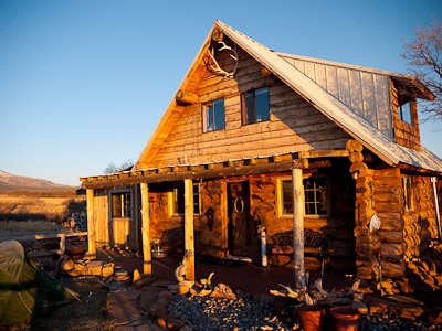
Paul and Glenis built the cabin themselves, using Ponderosa Pine hauled out from the nearby Abajo Mountains.
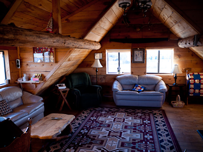
It was stunning inside, rustically decorated with traditional Indian bows, arrows, clothing and single action guns, all of which they'd made themselves - even the Kentucky Flint Lock rifle hanging on the wall, the English fowling piece and the Tomahawk axe. Paul was something of a Wild West buff, and filled me in on the history of the region. It felt like they wished they'd been born into a different era.
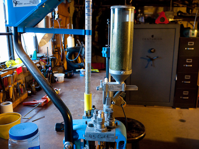
This machine makes bullets. Paul reckons the 'four corners' of the US - the area where Utah, Colorado, Arizona and New Mexico meet - is the safest part of the US. The reason? Everyone carries guns, and as everyone knows it, there's no trouble. We'll have to agree to disagree on that one.
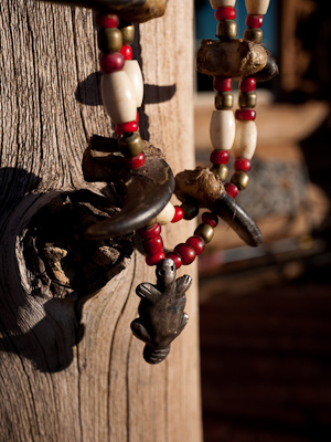
I was told me all about how Venetian beads were used for trading purposes with the Native Americans - apparently Manhattan was swapped for $26 dollars of glass beads. Each beaver that the Native Americans brought to the whites was worth a silver pendant, which was then spent in the trading posts. When it came to leaving, I thanked them both for their kind hospitality, and the beads they'd given me to sew onto my pannier. In typical Paul style, he replied: 'As long as you had a warm night and ate good, I'm happy'. And with that, I was on my way again.

Hi Cass!!
When are you back in the UK?
Getting hitched and wondered whether you could join in the fun!!
The date is December 12th, the venue Y Plas Machynlleth.
Bye for now!
Annie
Hey Cass…so nice to see the desert pics. It feels like it could be a place of real extremes. I can imagine that it would be both euphoric and terribly lonely at times. Big floods in the Lakes this week…no chance of that where you are…take care…S
hey simon, you’re right about that. on both counts! good to hear from you.
annie – congrats! my thoughts will be with you, as I’ll still be riding away. got a wedding ride planned??
Hi I just want to say that your site is absolutely amazing and inspiring! My friends and I traveled around the country this summer to ride bmx bikes, but we actually had some stops on our trip that I see you’ve stopped at. We didn’t pedal place to place but took an old 1984 Mercedes Van that ran on straight vegetable oil. Anyways I enjoy checking your site to see where your at next, keep it up and good luck and safe travels. I hope to maybe do what your doing someday, just got myself a mountain bike, so fingers are crossed.
Am I going to have to get on my bike and go make sure this guys is OK? What happened to the Navajo post?
Be real, be sober.
I’m good, thanks! wanted to update the post with more stories and pics, but haven’t had much internet access here in Pie Town so didn’t manage to finish it. Happy Thanksgiving!
Cass
What do you think about taking an Ibex bob trailer on the Lockart basin rd? We’re doing shake down trip for a Great Divide trip this summer. Nice photos– Rob
mostly fine. there’s a few rough sections which might well require an unhook and hike, depending on the weight of the trailer. that’s in the first 1/3rd. then things chill out, and it would be all rideable with a trailer. keep an eye out for the cairns!
wonderful desert camping…
Thanks for all the helpful info We are riding the trail on monday 5-10-10 Planning on spending the nigh so we can enjoy the ride. If 3 ladies over 50 and 60 can do it anyone can right ? we will let you know how it goes 😉 Holly Deb and Karen
Beautifully documented ‘wanderings’! I could have had dozens more photos to look at, and never tire of this magical terrain! I do miss it!
Hi! Your Lockhart Basin photos are stunning – thank you for sharing. I am looking at doing this trip myself, making a 4-day (maybe 5) counter-clockwise loop starting and ending in Moab (incorporating Kane Creek Rd, Lockhart Basin Rd, and Hwys 211 and 191). I’ve been studying as much info as I can find online (limited!) and have ordered maps/books that include info on this road. Any suggestions or resources from your end? Any permanent water sources that you found on the way? I’d be riding solo, self-supported with a Bob-type trailer (which I’ve done twice on the White Rim Road in Canyonlands). Thanks much!
The best advice I can offer is to pop into Poison Spider in Moab and ask to speak to Cullen. He’s knows the trails inside out, and loves touring, so understands the kind of riding you’ll be doing. There might be the odd carry/unhitch, but it’s mainly all rideable. Have a great ride!
Great – thanks for the advice! I’ll give him a holler. Safe travels to you, and I hope your trips are going great.
it’s beautiful country. I love that you mountain biked through it. what a great way to get to soak it in. I love the LaSalle mountain.
Pingback: Lockhart Basin Road, Utah | gypsy by trade
Pingback: Red Rocks are silent – cycling the Kokopelli Trail and Lockhart Basin Road – In Between Spokes