
This is an overview of the route I took through Central America, with links to the relevant blog posts – where you can find more details and notes. The countries are also individually archived within the Central America blog category. I’ll try and get a map up at some point.
In terms of route finding, I use whatever maps I can get my hands on, generally the IMTB series, to get a rough shape of the ride. Then, I ask around locally for backroutes and dirt roads – especially in decent mountain bike shops, if I find them. However, Google Earth is definitely be a great source of information too, as I’ve been finding later in my travels. Uploaded to a GPS, it makes for all kinds of remote, backcountry touring potential…
The Panamericana is the main artery through Central America. It’s the quickest route through the Americas, but for a stress-free tour, is best avoided…
Dig around, and Central America reveals rugged mountains, pristine beaches and forgotten jungle ruins. But it takes time to reveal its fantastic potential. And it takes a concerted effort not to get sucked onto the Panamericana, the most direct thoroughfare through the continent – jostling with goliath trucks and buses is the antithesis of the kind of travelling I enjoy. Crisscrossing from the Caribbean coast to the Pacific is one way of keeping to quiet roads, via Belize, the Central Highlands of Guatemala, Honduras and Nicaragua’s Mosquito Coast, and the Nicoya Peninsula of Costa Rica. Just don’t expect backcountry Central America to be easy going; the highlands in Guatemala and Honduras highlands are rippled with some of the most challenging terrain in the whole of Latin America, and Costa Rica is no slouch either.
If you have the time, I’d also highly recommend a side trip to Cuba, a relatively cheap hop across from Cancun, Mexico, or various capital cities in Central America, such as Guatemala City (as I did).
Security-wise, I felt comfortable almost everywhere, except for parts of the Honduran coast – naturally things change, so check locally.
Belize – Dirt road jungle traverse from Orange Walk to the Guatemalan border.
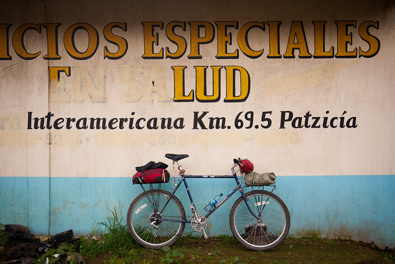
Guatemala – Two months’s voluntary work at MayaPedal, and a second dirt road foray via Xela across the border into Chiapas, then more dirt to Peten, Coban and San Andres, plus a hike to Mirador.
Cuba Sidetrip: Paved central Cuban road loop out of Havana.
Honduras – Guatemalan Highlands to Honduran Caribbean Coast, via Bay Islands, paved and dirt roads.
La Meskitia – Singletrack and dugout canoe adventure linking Honduras to Nicaragua, via Ahuas and Mocoron.
Nicaragua – Dirt roads south from Puerto Cabezas through RAAN, along the Pacific Coast and around idyllic Isla de Ometepe.
Costa Rica – Dirt roads through the Volcan Rincon de la Vieja. Then more trails and beach riding round the edge of the Nicoya Peninsula. Paved road traverse via Alajuela to the Caribbean coast, via Puerto Limon and Puerto Viejo.
Panama – Side trip to the festive islands of Bocas del Toro, then back over the mountains towards David to the Pacific coast and Las Lajas, before following the Panamerican Highway to Panama City. Sail boat through the San Blas to Cartagena, Colombia.
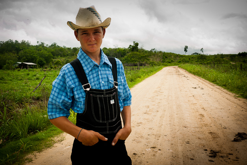
A mennonite in backcountry Belize.
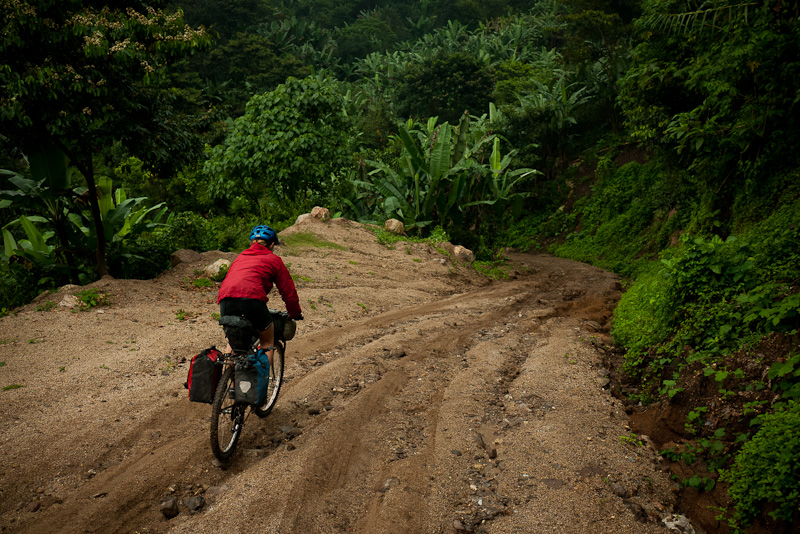
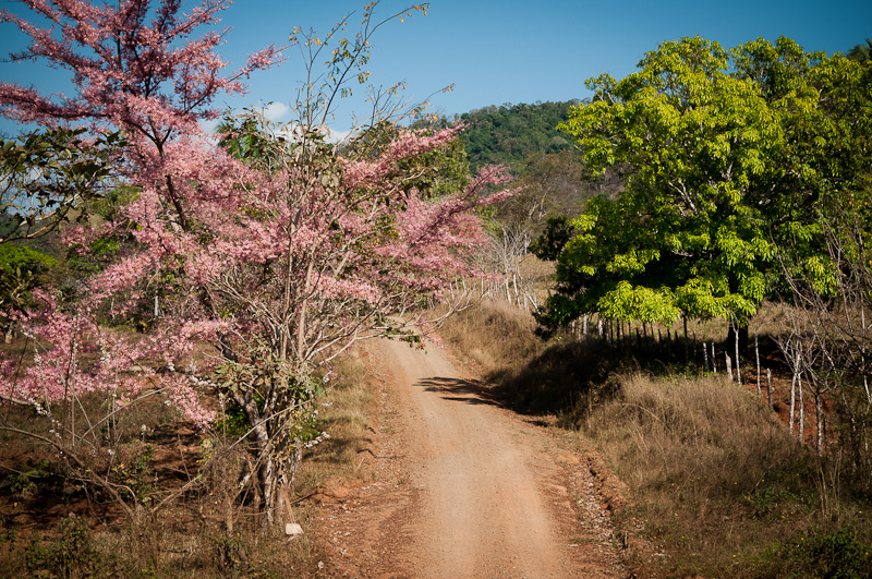
Dirt roading in Guatemala.
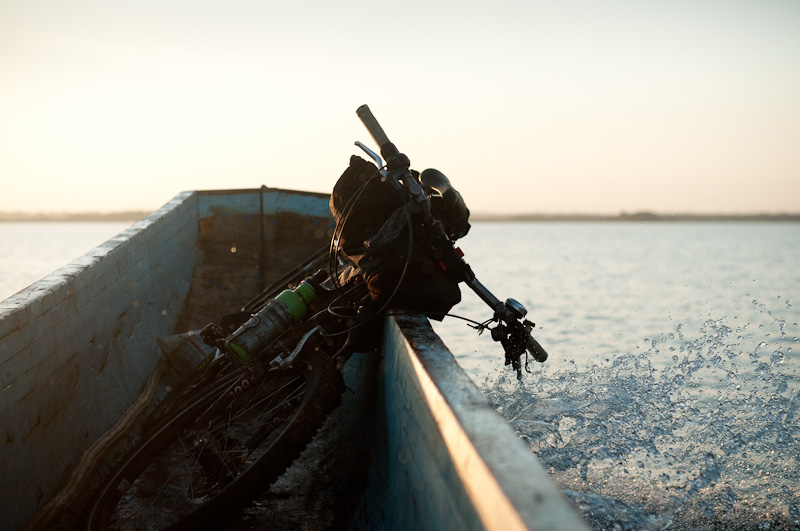
Multi-modal transport in La Moskitia.
Avoiding the hordes in the Nicoya Peninsula, Costa Rica.
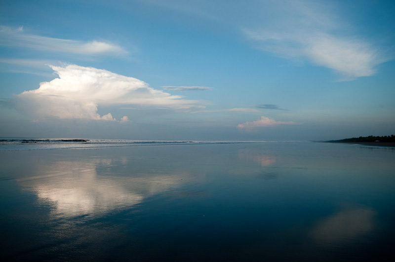
A side trip to Las Lajas, Panama, said to be one of the longest beaches in Central America.

The site re-design looks awesome Cass!
Hey, I want to say THANKS for the inspiration. I just spent 3 months cycling Mexico. With your off-road adventures and fantastic photography in mind, I definitely went out of my way to ride dirt — a couple weeks in Copper Canyon and then in the Sierra Occidentale! Not surprisingly, I met a couple other cyclotourists who’d run into you too. One woman said she ran into you in the middle of a cornfield in Peru or Chile. No road, no track, nada.
Thanks for blazing the way. Can’t wait to see more adventures.
Thanks!
Your Sierra Occidental traverse (http://flamingbike.wordpress.com/2013/03/04/offroad-to-puerto-vallarta/) looks awesome! Makes me want to get on my bike right now and ride it! Nice work.
I’m back in Peru in August in search of dirt. Can’t wait.
Wow Cass, this certainly has got the inspiration flowing for my trip.
I’d already planned to pick your brain once I was getting toward the end of the Great Divide but you’ve preempted that already.
Keep Shredding!
Hey Cass, I love the new site. I’ve been following your blog for about a year. I am thrilled to see this post about your route through Central America. My girlfriend and I are heading south from Mexico to Argentina next week. We are looking for off-road along the way. Thanks so much for all the info and inspiration!
How long will you be in Peru? I don’t know if we’ll have made it there by August, but it would be great to meet up for a ride!
All the best,
Lars @ Tour In Tune
Thanks Lars,
Good luck with your impending travels. I’ll be riding through from Huaraz to Cuzco leaving in mid August (to allow some fun times mountain biking in Huaraz first!). Maybe our paths will cross!
Hey Lars, where are you two right now? My friend and I are about to leave Guerrero Negro, Baja California, Mexico (we were waiting for a spare rim to ship from San Diego for my friend) to head south to La Paz, then onward to hit some dirt in the Copper Canyon. We are also heading south to Argentina from Mexico, maybe we’ll bump into each other on the road!
I’ve also been using this blog as some inspiration for my own trip… in fact, it was the review of the Troll that ultimately persuaded me to go with the Troll for my own rig, and I love it!
Hello LeeAnn, nice to hear from you. We are currently taking a one week break on the Guerrero coast. We will be cycling down the Guerrero state coast through Puerto Escondido before heading back into the mountains towards San Cristóbal / Chiapas. We are moving pretty slowly so far, so you might catch up with us. You can check our current and recent location on our blog http://www.tourintune.com. If we’re lucky, maybe we will even be able to chase Cass up some trails in Peru when he arrives 😉
We are also moving really slowly, in part because my touring partner works a bit from the road, so we stop for him to work every couple weeks, and in part because I have the luxury of a lot of time… we both speak Spanish fluently so we get sucked into towns sometimes! You can keep tabs on us at http://kungfubykride.blogspot.com!
Useful post Cass which I am diligently studying for my route through Central America!
Have you used http://www.ridewithgps.com? Pretty awesome for recording your route and gives elevation profile. I’ve managed to map my whole route from Prudhoe Bay, Alaska to Guatemala down the Continental divide on my site. For off the beaten track you just add your GPX (e.g. The Great Divide) or ‘detailed roads’ just plug in start and finish like google maps. Because of the elevation profile, I find it immensely useful for planning. You may have seen it, just thought I’d mention it.